Description
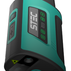
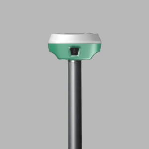
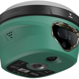
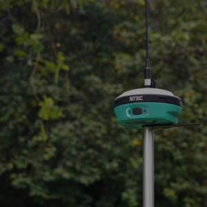
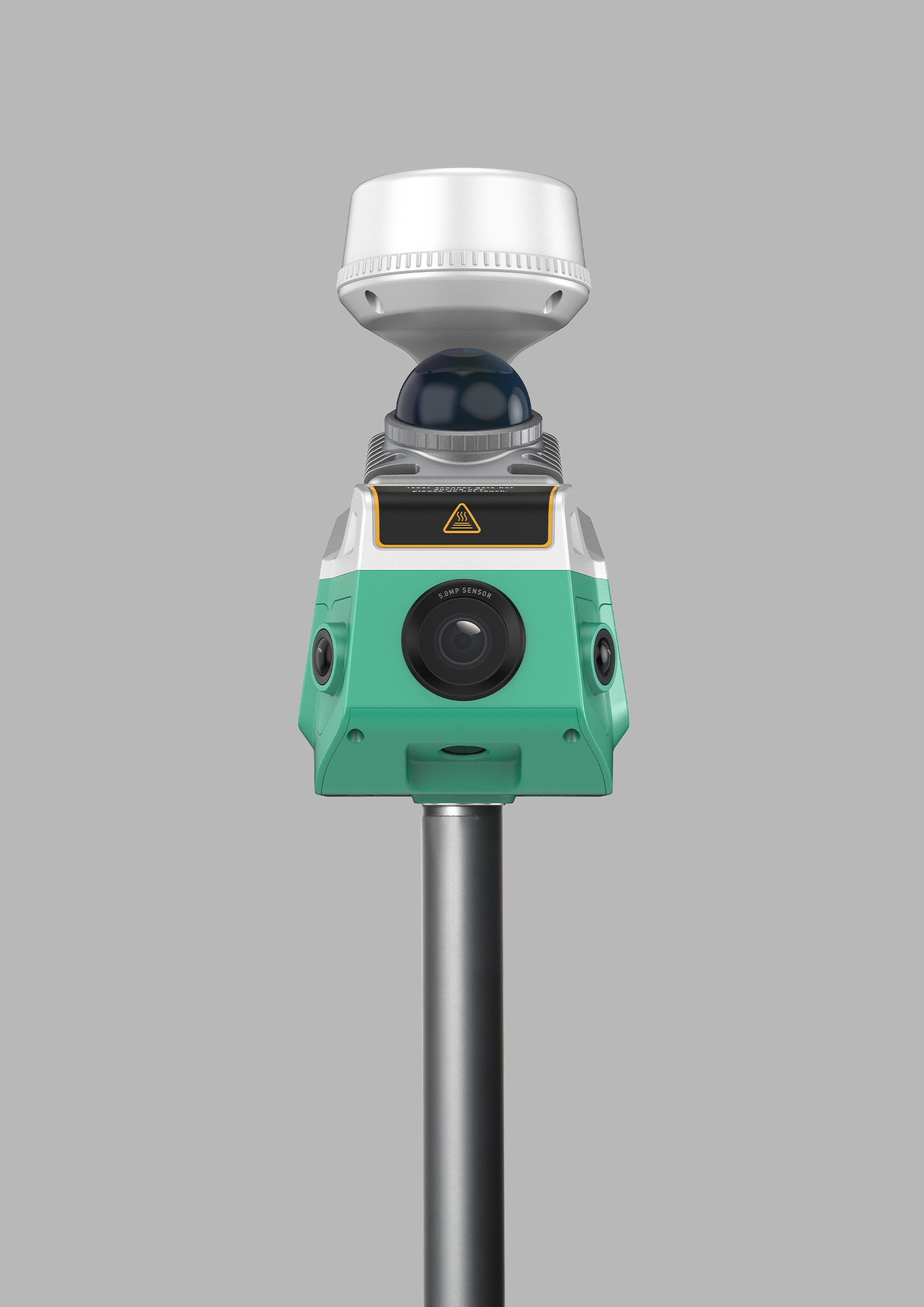
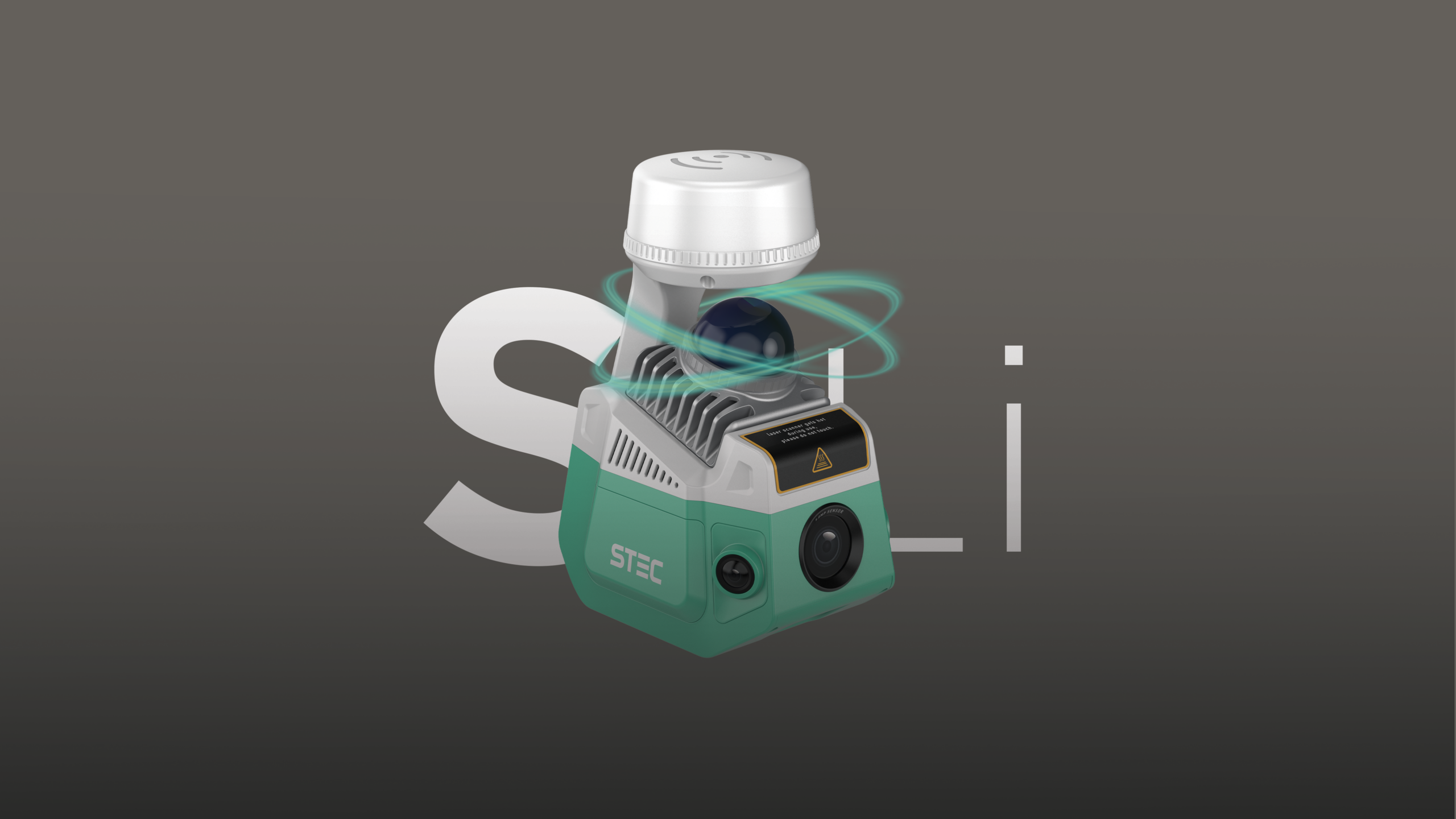
The STEC SLi combines GNSS positioning, LiDAR scanning and photogrammetry in one receiver. It supports conventional survey work alongside georeferenced point-cloud capture and visual positioning.
Price range: £7,180.00 through £7,720.00
The STEC SLi combines GNSS positioning, LiDAR scanning and photogrammetry in one receiver. It supports conventional survey work alongside georeferenced point-cloud capture and visual positioning.
| GNSS channels | 1808 |
|---|---|
| LiDAR scanning rate | 200,000 points/s |
| Scanning range | 70 m |
| LiDAR field of view | 360° horizontal × 59° vertical |